Day 118: Lincoln
Today was most certainly adventurous. It started with a thunderstorm, which occurred just as the day was starting for me. And oh boy what a warm night, at 4am it was still in the 80s°F in my tent! Yes I was awake to check: there was much noise amongst the locals, including shouting, fighting and general comings and goings.

Then, on the road, I discovered once
I'd crossed the Missouri River that my GPS's USA map was lacking Nebraska. That's OK, I thought, because I can simply follow the GPS route. The only minor concern was that the route was not a planned route, such as that which I've mainly been using to date (typically derived from the ACA cycle maps or similar). Instead I'd simply used the auto route option, which can result in the occasional suprise or two. But all would be okay because, as a last resort, I had the OpenStreetMaps on my phone. So clearly it was okay to continue!

All was good for a while, I even managed to navigate myself back to the route when I encountered a road closure: i just had to follow the detour signs!
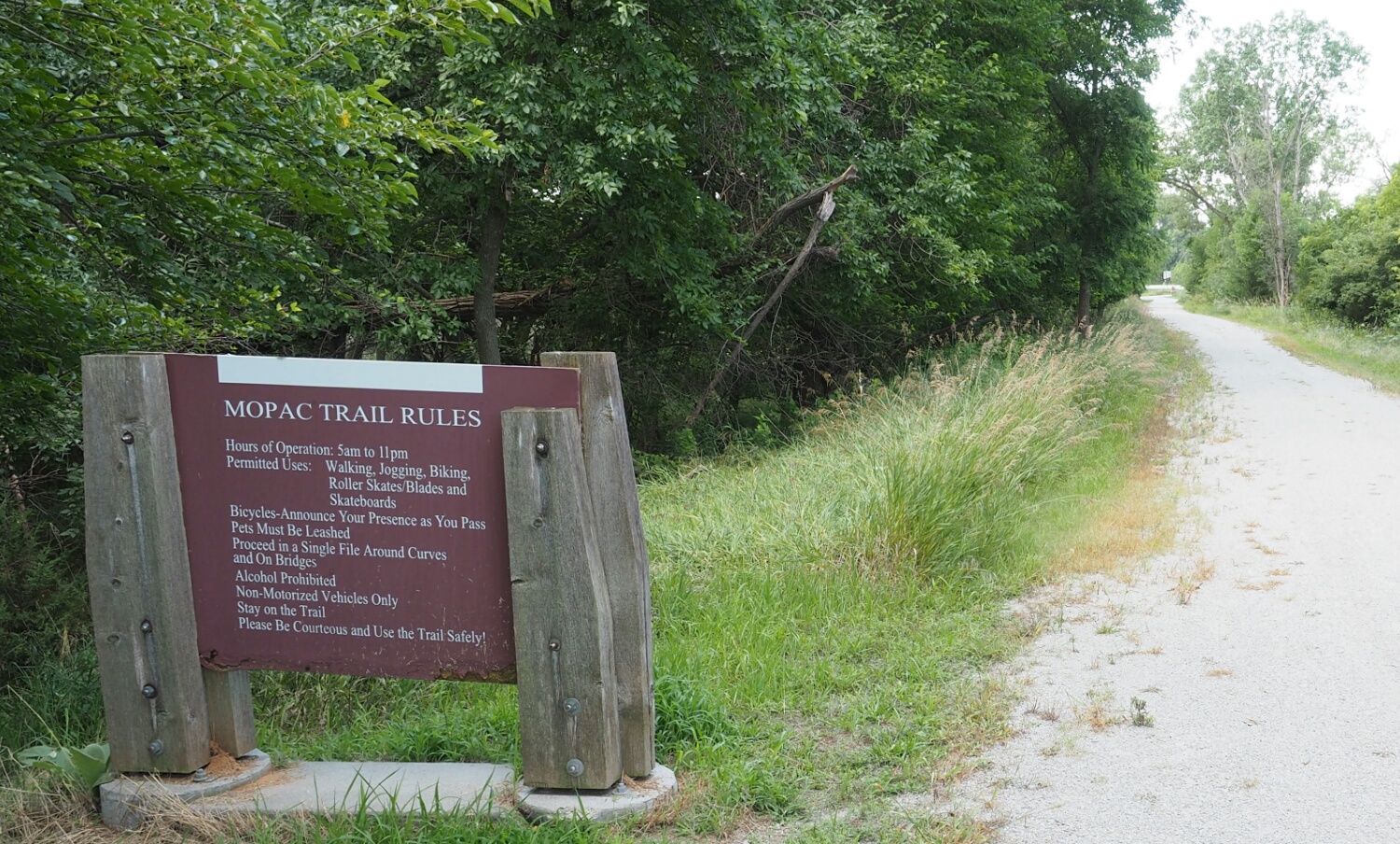
The difficulties started when a section of the MOPAC Bike Trail was closed with no visible detour! Okay I thought, time for the OSM. It was then that I discovered that I'd not downloaded the Nebraska map: Why would I have done so when I'd no plan to visit? I'm only here because I have some spare time before RAGBRAI. Oh dear! What now?
I know, I'll just continue down this road; it's going in the general direction! Then, just as I was thinking that all was good, the tarmacadam came to an end and it was onto the dreaded gravel, which started okay but got worse as I progressed further into deepest darkest farmland world.

Eventually, I resorted to the mobile phone as, even though the OSM App did not have the Nebraska maps installed I remembered that the OSM App did show major USA roads. Anyway, I discovered that if I continued to plow on in my current heading it'd be at least twice the distance to tarmacadam heaven than if I made a ninety degree turn. So off I turned.
How lucky am I? Very! About a mile or so down the perpendicular gravel road I hit tarmacadam, turned left, and about 100 yards down the road was the bike trail, which brought me all the way into Lincoln. Not only that, it was shady for much of the way (mid morning it was ready 110°F in the sun, but only mid 90s in the shade), and alao it was quiet and free of traffic. All good then.
Even better, I reside in a motel, rather than a tent, so won't have to contend with sweltering temperatures as I attempt to get some shut eye.
